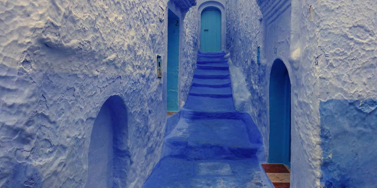
Why Switzerland Is a Hiker's Paradise
Switzerland offers over 65,000 kilometers of marked hiking trails through some of the most spectacular mountain scenery on Earth. From gentle alpine meadow walks to challenging high-altitude ridge trails, the Swiss hiking network provides unforgettable experiences for every fitness level. The combination of pristine nature, well-maintained paths, efficient public transport access, and charming mountain villages makes Switzerland arguably the best hiking destination in the world.
The Swiss tourism board has invested heavily in trail maintenance and signage. The Swiss National Hiking Trail network uses a standardized system: yellow markers for hiking trails, white-red-white for mountain routes, and white-blue-white for alpine routes. This clear signage means you rarely get lost, even when hiking solo through remote valleys.
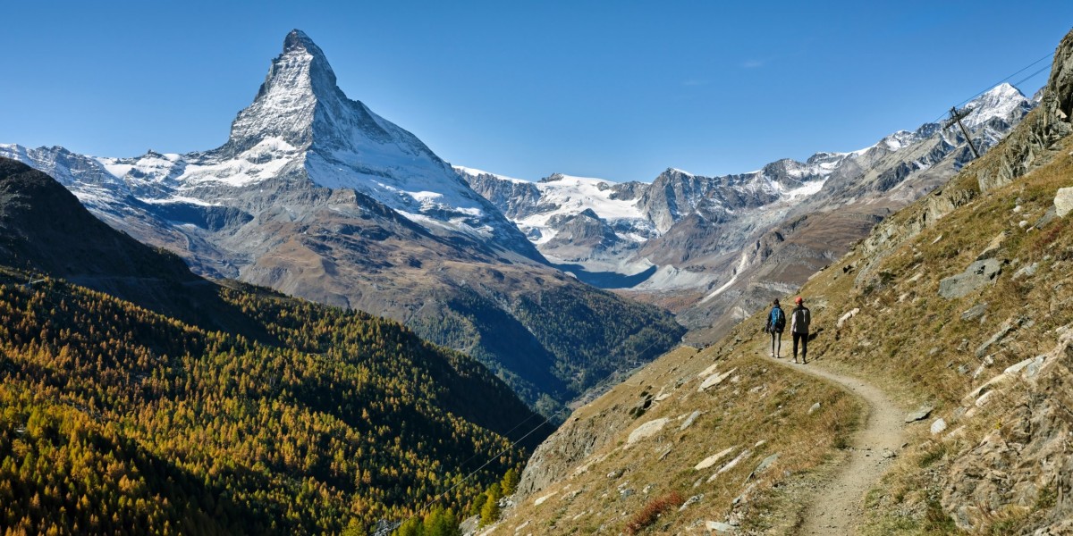
Photo: Matterhorn from Zermatt, Switzerland
Photographer: Roy Egloff
License: CC BY-SA 4.0
Source: Wikimedia Commons
Top 5 Hiking Trails in Switzerland
The Eiger Trail (6.4 km): This spectacular trail runs directly beneath the notorious North Face of the Eiger. Starting from Eigergletscher station, the path hugs the base of the mountain with dramatic close-up views of the 1,800-meter rock wall. The trail ends in Alpiglen station, making it accessible as a one-way downhill hike of about 2 hours. The recent opening of the Eiger Express cable car has made access from Grindelwald even faster.
The Five Lakes Walk (9.3 km): Starting from Zermatt, this classic route passes five alpine lakes, each reflecting the iconic Matterhorn in clear conditions. The trail takes 2-3 hours and gains only 270 meters of elevation, making it suitable for families. Ojos Alti and Stellisee offer the most stunning mirror-like reflections of the Matterhorn, particularly magical at sunrise.
The Haute Route (Chamonix to Zermatt): Originally a winter ski tour, the summer Haute Route covers approximately 180 kilometers over 12-14 days through the highest peaks of the Alps. This multi-day trek crosses from France into Switzerland, passing through dramatic glacial landscapes. Proper mountain experience and sturdy equipment are essential for this challenging adventure.
Aletsch Glacier Panorama Trail (17 km): This UNESCO World Heritage trail offers views of the Great Aletsch Glacier, the longest glacier in the Alps at 23 kilometers. The route follows high above the Bettmerhorn and provides an unmissable perspective on climate change's impact on alpine landscapes.
Bachalpsee Lake Walk (6 km): Starting from Grindelwald First, a short cable car ride takes you to one of Switzerland's most photographed spots. The easy circular trail around Bachalpsee offers perfect Matterhorn reflections with alpine flowers in summer. This is an ideal introduction to Swiss hiking for beginners.
Essential Planning Tips
The Swiss hiking season runs from May to October, with peak conditions typically in July and August. For fewer crowds and stable weather, September is magical — autumn colors transform the valleys golden while temperatures remain pleasant for hiking.
Pack layers — mountain weather can change from warm sunshine to cold rain in hours. Essential gear includes sturdy waterproof hiking boots, rain jacket, hat, sunscreen (intense at altitude), map, and sufficient water. The Swiss移动通信 network is excellent even in most mountain areas, but don't rely solely on your phone for navigation.
Use the excellent Swiss public transport to access trailheads — the Travel Pass (CHF 52/day for trains, buses, boats) offers outstanding value. Mountain railways and cable cars operate from June-October and can dramatically shorten your approach to high-alpine trailheads.
Learn more about hiking in Switzerland: